IBM Geospatial Models

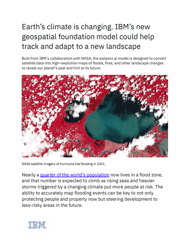
Earth’s climate is changing. IBM’s new geospatial foundation model could help track and adapt to a new landscape. Built from IBM’s collaboration with NASA, the watsonx.ai model is designed to convert satellite data into high-resolution maps of floods, fires, and other landscape changes to reveal our planet’s past and hint at its future.

This site is protected by reCAPTCHA and the Google Privacy Policy and Terms and Conditions apply.

IMPORTANT NOTICE
Any information you supply is subject to our privacy policy. Access to this content is available to registered members at no cost. In order to provide you with this free service, Government Executive Media Group may share member registration information and other information you have provided to us with content sponsors.