Planet Satellite Imagery for GIS Professionals E-book

Geospatial information is used across industries to identify change and inform action. And as data sources expand, geospatial teams have unprecedented opportunities to make an impact and generate value. In this e-book, learn how to unlock the value from daily satellite imagery and insights.

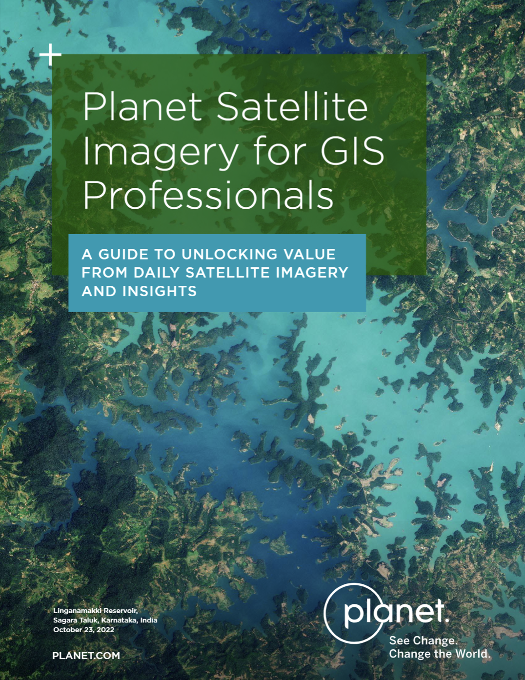
Preview image
Sponsored by

This site is protected by reCAPTCHA and the Google Privacy Policy and Terms and Conditions apply.

IMPORTANT NOTICE
Any information you supply is subject to our privacy policy. Access to this content is available to registered members at no cost. In order to provide you with this free service, Government Executive Media Group may share member registration information and other information you have provided to us with content sponsors.